Hyperspectral Remote Sensing
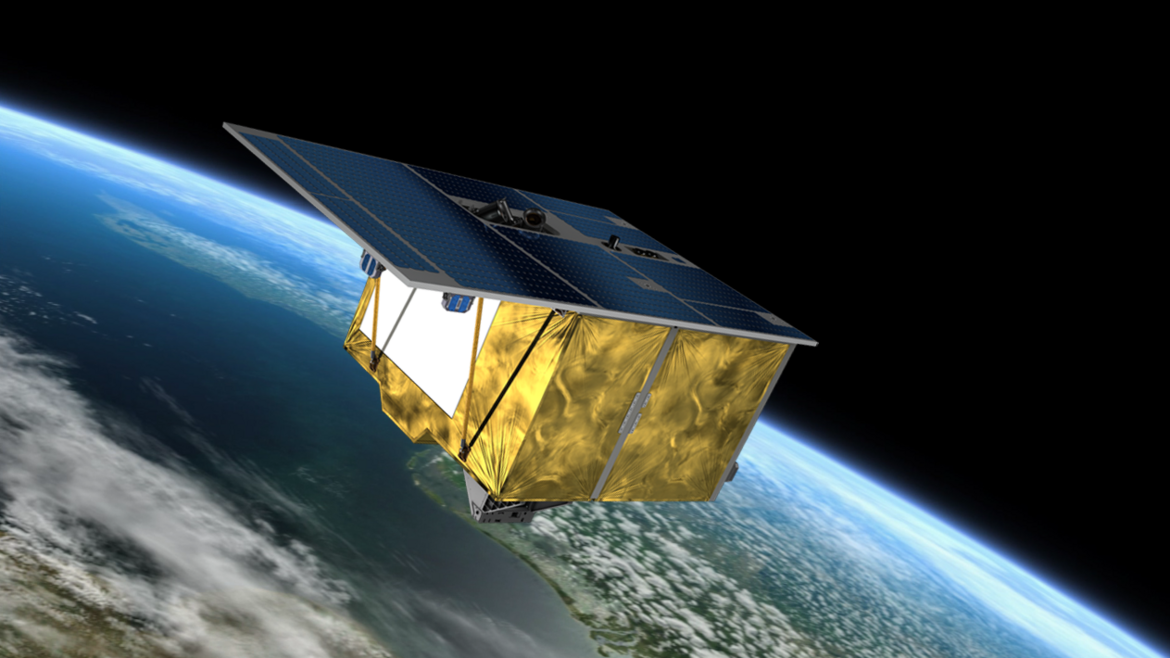
EnMAP - Scientific support of the hyperspectral satellite mission
The Environmental Mapping and Analysis Program (EnMAP) is a German hyperspectral satellite mission that monitors and characterizes the Earth’s environment on a global scale. The primary goal of EnMAP is to provide accurate diagnostic information on …

