
Web Application
Got 4 results.
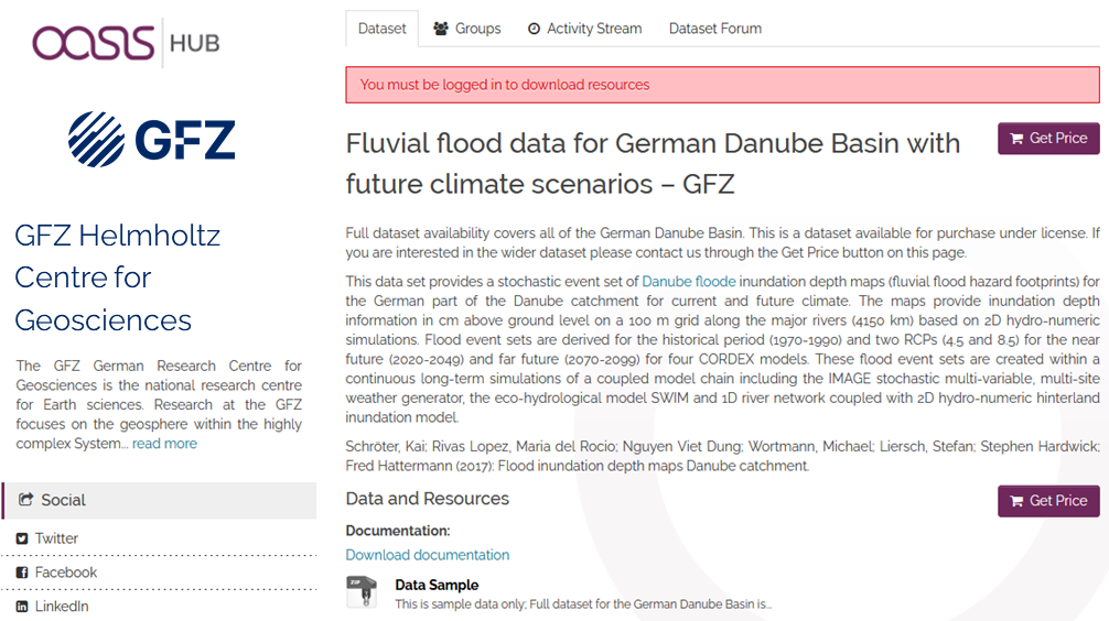
Fluvial inundation maps for the German Danube basin with future climate scenarios
This data set provides a stochastic event set of flood inundation depth maps (fluvial flood hazard footprints) for the German part of the Danube catchment for current and future climate in GEOTIFF format..
The maps provide inundation depth informati…
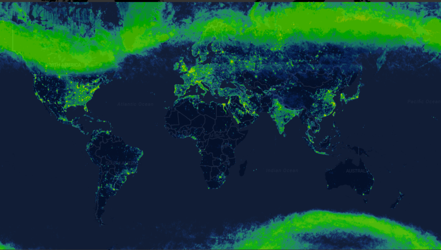
Radiance Light Trends
Radiance Light Trends is a GIS web application that is designed to quickly display information about radiance trends at a specific location (available online at https://lighttrends.lightpollutionmap.info). It uses data from two satellite systems, DM…