
Search filter
Clear filters
-
- Continuous GNSS Data
- Continuous GNSS Derived Products
- Controlled Source Seismological Data
- Earth Orientation Parameters
- Final Products
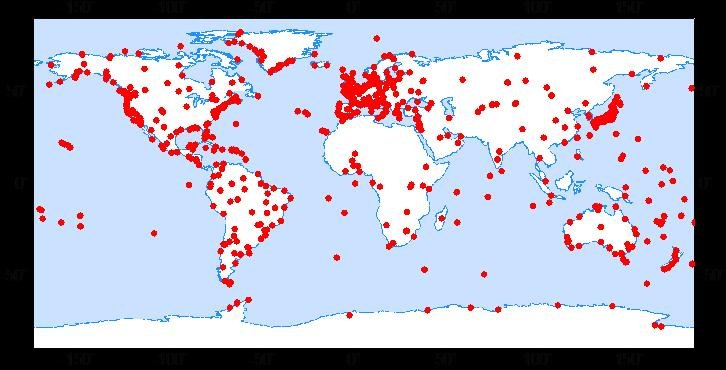
- GNSS Data
- GNSS Station and Satellite Metadata
- Model
- Observation Data and Derived Products for the Global Navigation Satellite Systems (GNSS)
- Polar Motion
- Precession/Nutation
- Precise Station Coordinates
- Processed GPS Products
- Rapid Products
- Satellite Clock Corrections
- Satellite Data
- Satellite Orbits
- Ultra-rapid Products
- Universal Time
Section 1.1 Space Geodetic Techniques

GFZRNX - RINEX GNSS Data Conversion and Manipulation Toolbox
GFZRNX is a toolbox designed and created for the needs of the GNSS community. It supports RINEX observation, navigation and meteorological data. The major tasks include checking, repairing and manipulating (sampling, selection of satellite systems a…


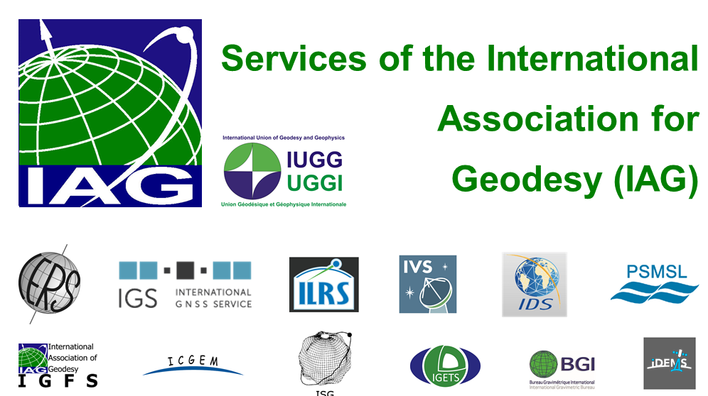
IAG Services - Services of the International Association of Geodesy (IAG Services)
The International Association of Geodesy (IAG) is the scientific organization in the field of geodesy. It promotes scientific cooperation and research in geodesy on a global scale and contributes to it through its various research bodies. It is a me…

IVS - International VLBI Service for Geodesy and Astronomy
Very Long Baseline Interferometry (VLBI) is a highly accurate technique, used since the 1970s in geodesy that has delivered groundbreaking scientific discoveries. This technique allows scientists to measure global distances with millimeter accuracy;…
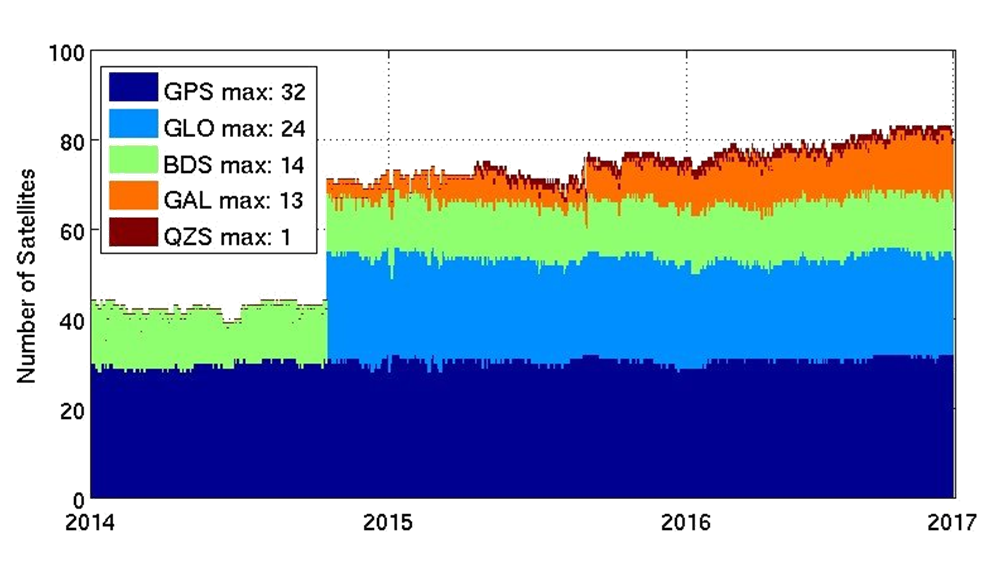
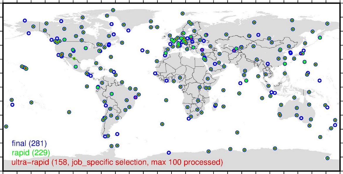
MGEX - Analysis Center of the Multi-GNSS Experiment
The Multi GNSS Experiment (MGEX) was initiated by the IGS in 2012. In MGEX all available signals of the new GNSS satellites are analysed. Currently, seven IGS analysis centers generate consistent and precise orbits and clock corrections of the new s…
TIGA - Processing Center of the Tide Gauge Benchmark Monitoring Working Group
Being a modern geodetic measuring method, GNSS (Global Navigation Satellite Systems) has reached an important role in geosciences. Within the scope of the Tide Gauge Benchmark Monitoring Working Group (TIGA-WG) of the IGS, GFZ analyses and reprocess…
GRACE - Gravity Recovery and Climate Experiment inactive
GRACE was a joint project between the National Aeronautics and Space Administration (NASA) and the Deutsches Zentrum für Luft- und Raumfahrt (DLR). The mission has been proposed in 1996 jointly by the University of Texas at Austin, Center for Space …