
SAGOS - South African Geodynamic Observatory Sutherland


Contact:
Web:
Infrastructure belongs to:
The South African Geodynamic Observatory Sutherland (SAGOS) of GFZ was established during the years 1998 – 2000 based on an Agreement on Cooperative Activities between the National Research Foundation (NRF) and GFZ, signed in August 1998. SAGOS is located at the site of the South African Astronomical Observatory (SAAO). The operation and maintenance of the SAGOS instrumentation is jointly done by staff of SAAO and GFZ.
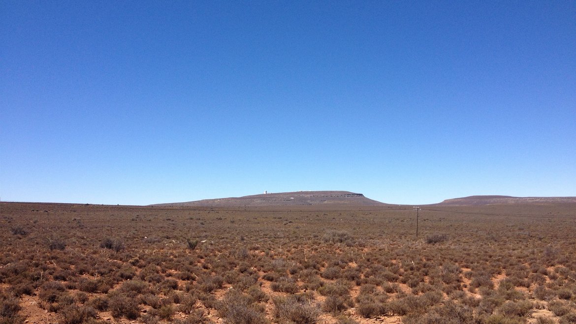
The SAGOS observatory is located about 350 km north-east of Cape Town (longitude: 20.81 E, latitude: 32.38 S, altitude: 1755 m). The shortest distance to the South Atlantic coastline is about 200 kilometres. The area is located in a tectonically quiet zone far away from the African rift. Geologically, the setting is a huge dolerite plateau with a several kilometres thick layer of dolerite. This bedrock allows a good coupling of the Superconducting gravimeter (SG) pillars to the ground. The environment is a remote area with no industry and low seismicity. The climate at this place is determined by the border between summer and winter rainfall zones so that temperature fluctuations are not too rough.
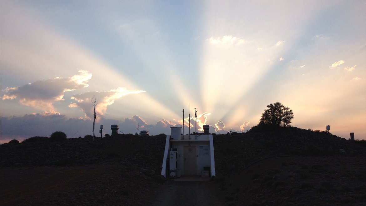
The observatory is also built into the ground to protect it against environmental effects like strong winds and temperature changes. All rooms are thermally insulated. An air condition system controls the temperature inside the measurement chamber, which is equipped with three concrete pillars embedded into the dolerite bedrock. Two of the pillars are constructed for Superconducting gravimeters or other geophysical instruments. The third pillar is dedicated for absolute gravimeters for the calibration of the Superconducting gravimeters. In the vicinity of the observatory four further pillars were set up for various other geodetic antennas and instrumentation.
Data Types
Disciplinary Keywords
Selected infrastructures
Instrumentation
Presently the observatory is equipped with:
- One Superconducting Gravimeter (OSG D037), which is integrated in the IAG service International Geodynamics and Earth Tide Service IGETS. A second superconducting gravimeter (OSG 052) has been recording data between 2008 and 2017, before it was deinstalled in September 2017 for the operation at Zugspitze (ZUGOG). The data from these SGs are available for registered users from the IGETS data base hosted by GFZ.
- A local network of hydrological sensors (soil moisture, groundwater level, meteorology) in cooperation with Section 5.4 which are essentially needed for the interpretation of the SG measurements.
- One permanent GNSS station (station ID: sutm) as a core station of the International GNSS Service (IGS). The data of this station are worldwide used within the geodetic science community for the determination of global and regional reference systems, for the investigation of crustal dynamics, for satellite orbit determination and others.
- One Triaxial Magnetometer, mainly used for investigations of the magnetic oscillation. Additionally, it is used as ground truth for satellite observations. The magnetometer has been installed in co-operation with the Hermanus Geomagnetic Observatory which permanently uses its data for instance in the international PLASMON project (coordinated by the Eötvös Loránd University, Hungary).