
Search filter
Clear filters
-
- Continuous GNSS Data
- Continuous GNSS Derived Products
- Earth Orientation Parameters
- Final Products
- Global Gravitational Models
- GNSS Data
- Model
- Observation Data and Derived Products for the Global Navigation Satellite Systems (GNSS)
- Passive Seismological Data
- Rapid Products
- Raw Gravity and Local Pressure Records and Products
- Satellite Data
- Satellite Orbits
- Temporal Models
- Topography Related Models
- Ultra-rapid Products
Section 1.2 Global Geomonitoring and Gravity Field

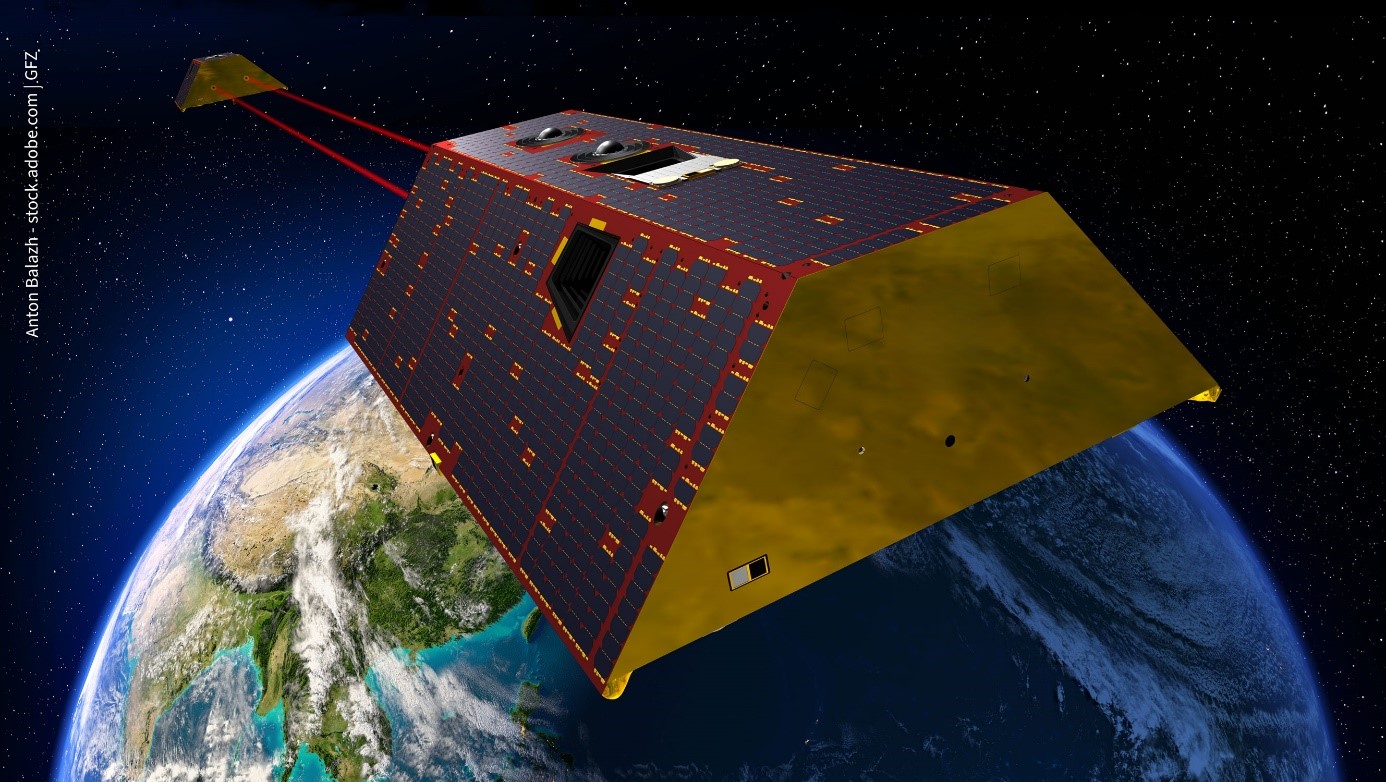
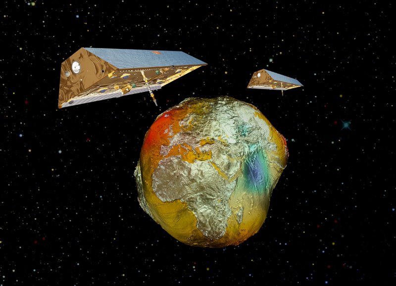
GRACE-C - Gravity Recovery and Climate Experiment Continuation Mission
The primary objective of the GRACE-C Mission is, as for GRACE and GRACE-FO, to obtain precise global and high-resolution models for both the static and the time variable components of the Earth's gravity field. As in the original GRACE missions, thi…
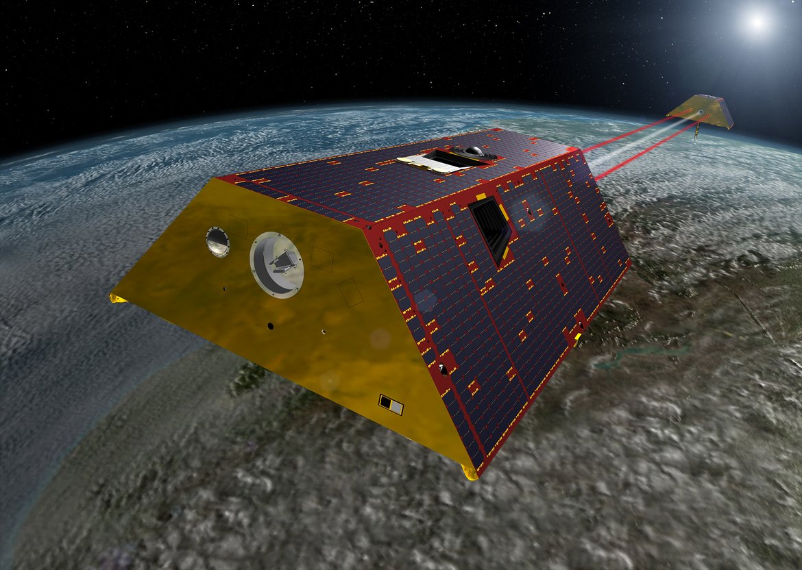
GRACE-FO - Gravity Recovery and Climate Experiment-Follow-On Mission
The primary objective of the GRACE-FO Mission is, as for GRACE, to obtain precise global and high-resolution models for both the static and the time variable components of the Earth's gravity field. As in the original GRACE mission, this goal is ach…

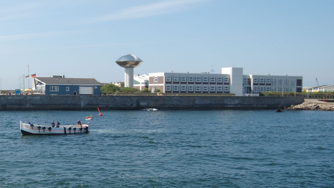
HELGOG - Helgoland Gravimetric Observatory Germany
The Helgoland Gravimetric Observatory Germany (HELGOG) was established in March 2020 in the basement of the Biologische Anstalt Helgoland (BAH) of the Alfred Wegener Institute AWI, Helmholtz Centre for Polar and Marine Research. The main research fo…
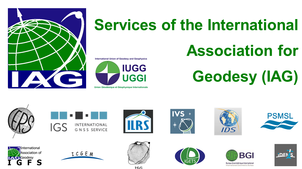
IAG Services - Services of the International Association of Geodesy (IAG Services)
The International Association of Geodesy (IAG) is the scientific organization in the field of geodesy. It promotes scientific cooperation and research in geodesy on a global scale and contributes to it through its various research bodies. It is a me…

ICGEM - International Centre for Global Earth Models
The determination of Earth’s global gravity field is one of the main tasks of geodesy: it serves as a reference for geodesy itself and provides essential information about the Earth, its interior and its fluid envelope for all geosciences. Thus, it …
IGETS Database - Database of the International Geodynamics and Earth Tide Service
The International Geodynamics and Earth Tide Service (IGETS) is one of five services coordinated by the International Gravity Field Service (IFGS) of the International Association of Geodesy (IAG). The main objective of IGETS is to monitor temporal …
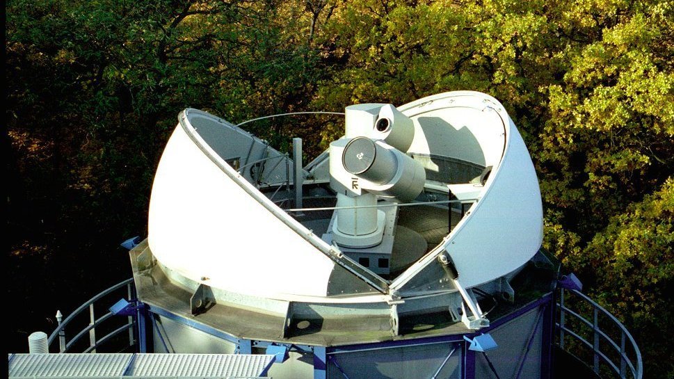
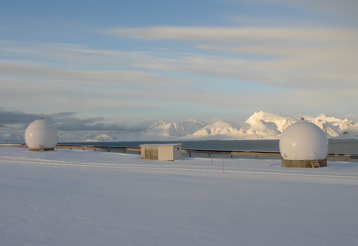
Satellite Receiving Station Ny-Ålesund (Spitsbergen)
The GFZ Helmholtz Centre for Geosciences operates a satellite receiving station at Ny-Ålesund, Spitsbergen (78° 55´ North, 11° 56´ East) to receive data from research satellites in polar orbits. The station is located about 1 km outside the village,…

CHAMP - CHAllenging Minisatellite Payload inactive
CHAMP (CHAllenging Minisatellite Payload) was a German small satellite mission for geoscientific and atmospheric research and applications, managed by GFZ. With its highly precise, multifunctional and complementary payload elements (magnetometer, ac…

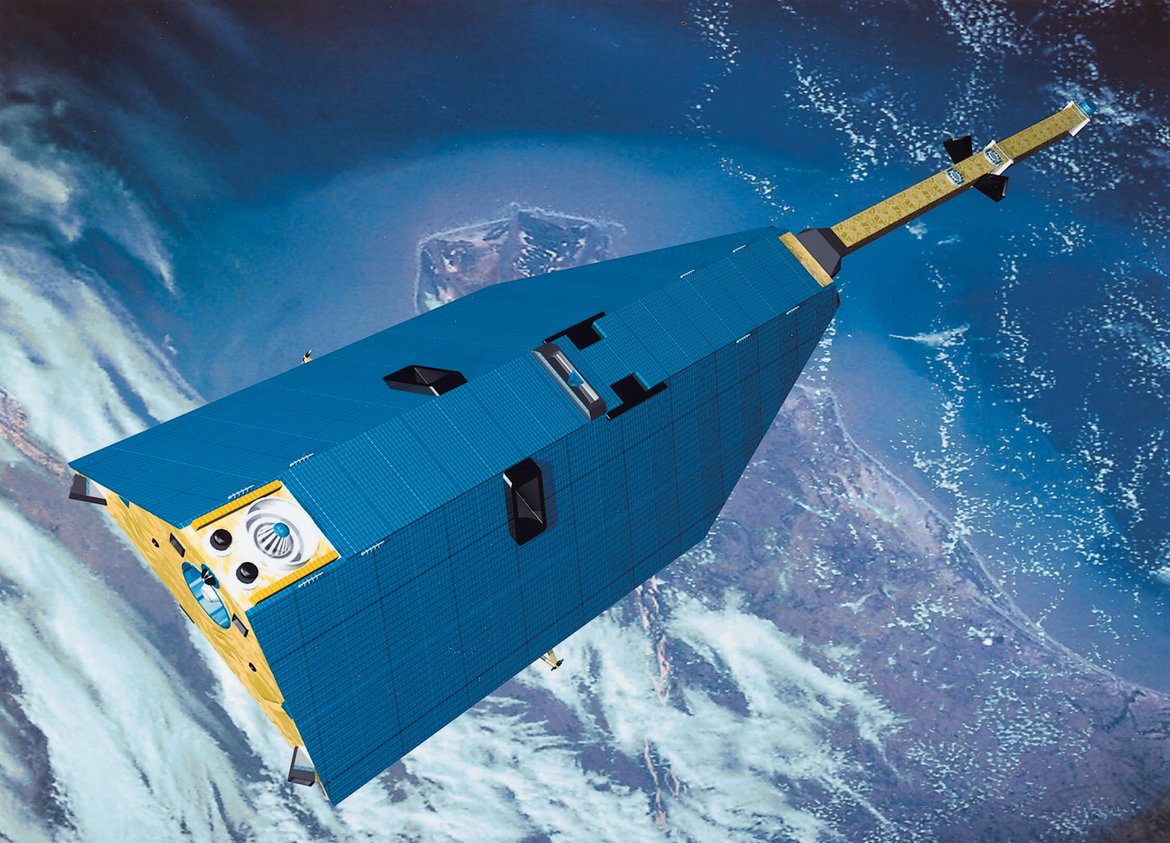
GOCE - Gravity Field and Steady-State Ocean Circulation Explorer inactive
The Earth explorer satellite GOCE (Gravity Field and Steady-State Ocean Circulation Explorer) was the first satellite mission within the framework of the Living Planet Program of ESA. This satellite mission was mapping the Earth's gravity field on g…
GRACE - Gravity Recovery and Climate Experiment inactive
GRACE was a joint project between the National Aeronautics and Space Administration (NASA) and the Deutsches Zentrum für Luft- und Raumfahrt (DLR). The mission has been proposed in 1996 jointly by the University of Texas at Austin, Center for Space …